Auction of 136 Adams Street NW, 1941
Moorland-Spingarn Research Center, Howard Univ.
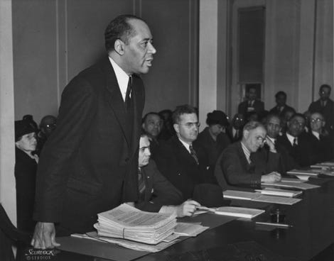
Charles Hamilton Houston, 1931
Scurlock Studio Records, Archives Center, National Museum
of American History, Smithsonian Institution
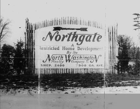
Sign advertising new subdivision, 1930
DC Public Library
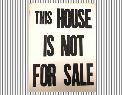
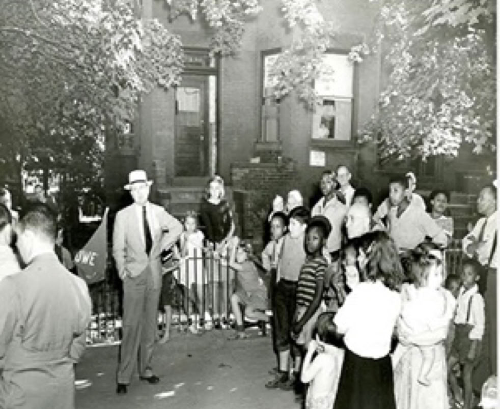
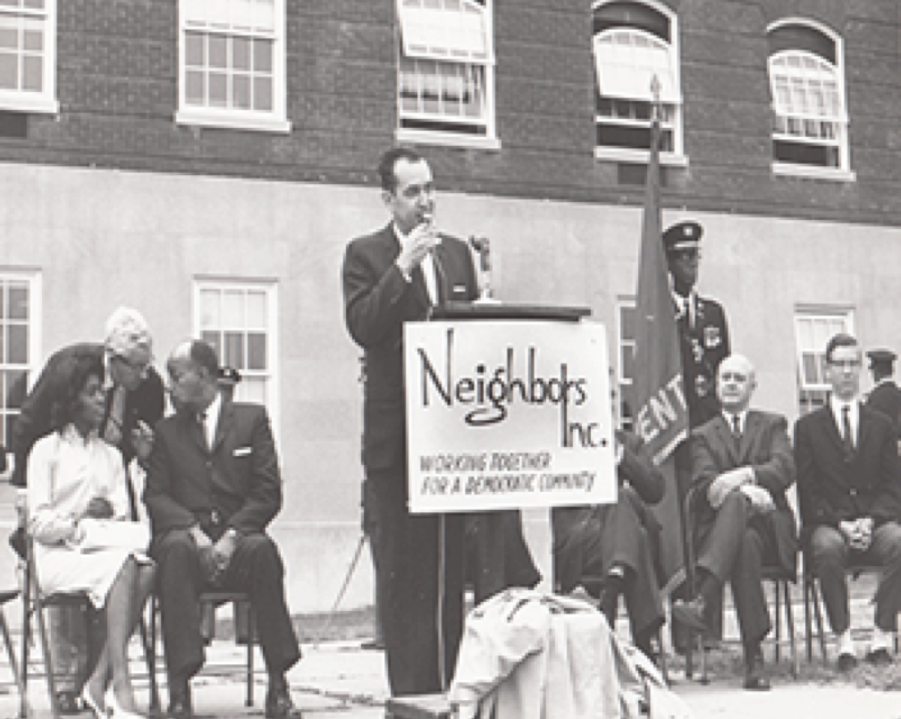
The Neighbors Inc. Records
DC Public Library
DC Public Library
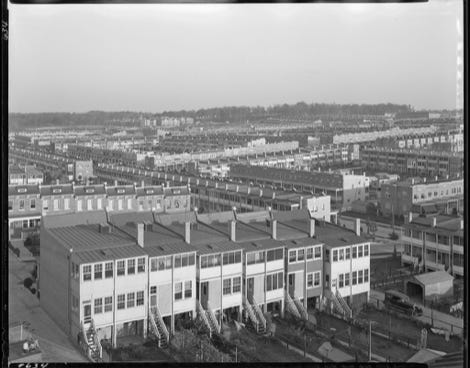
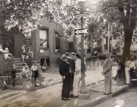
Petworth, late 1920s
Library of Congress
Mapping Segregation
in Washington DC
We’d love your help…
with reviewing DC deeds and documenting racial covenants! Our partners at the University of Minnesota hold online training sessions twice a month.
Click here to learn more and sign up.
You can also watch a training video on that same page and
get to work now, or anytime!
To access the research after creating a Zooniverse account, click here.
IMPORTANT
• Make sure your user name is in the upper right corner.
• If not, sign in so your work will be saved.
• Scroll down and choose Washington, DC.
Click here for answers to common questions
about transcribing DC covenants.
If you’d like us to hold a special training for your group or class, contact us at mappingsegregationdc@gmail.com.
DONATIONS
Mapping Segregation in Washington DC welcomes donations! Please contact mappingsegregationdc@gmail.com.
From Restrictive Covenants
to Racial Steering
A SPECIAL EXHIBIT ON
THE FIGHT FOR FAIR HOUSING IN WASHINGTON DC
This exhibit was launched in 2018 to mark the anniversaries of several milestones in the history of fair housing.
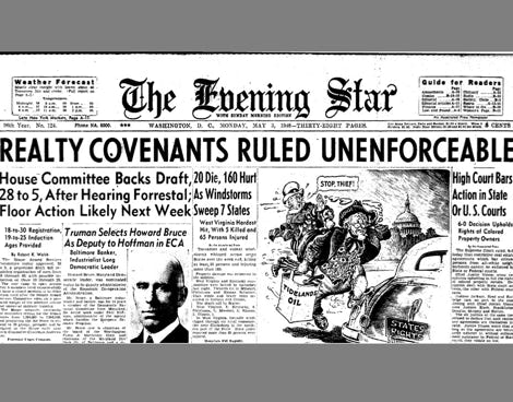
May 3, 1948. The U.S. Supreme Court ruled in Shelley v. Kraemer that the enforcement of racially